


Terrestrial Laser Scanner
Terrestrial laser scanner collects point cloud data of ground features in millimetre accuracy. The 3D scanner is mounted on a stationary platform instead of a moving vehicle. It can obtain higher density point data as much as 1 million points per second depending on the surveying approach.
Video: Tree branches segmentation results using terrestrial LiDAR data
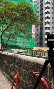
Stonewall Tree Survey
Terrestrial Laser Scanner is deployed in the survey of over 180 stonewall trees, which fall under the purview of Highways Department, with point cloud data of the trees collected for monitoring the growth of trees regularly to formulate and implement the necessary preventive measures (e.g. tree pruning and establishing supporting system, etc.).
-
 A Terrestrial Laser Scanning Survey
 -
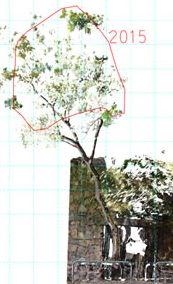 The Survey Result for Analysis
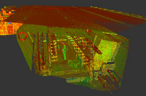
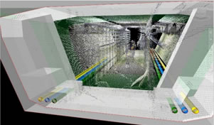
Concrete Viaduct Point Cloud
Data Acquisition for Building Information Modelling (BIM)
Terrestrial laser scanner was used to capture the 3D positions of viaducts and tendons beneath the deck of Shenzhen Bay Bridge-Hong Kong Section. The high density point cloud was used to create the Asset Information Models (AIM) of tendons, deviators and diaphragm walls for further study.
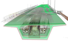
Point Cloud and BIM Model
The models of tendons, diaphragm walls and deviators are created with the aid of laser scanning data
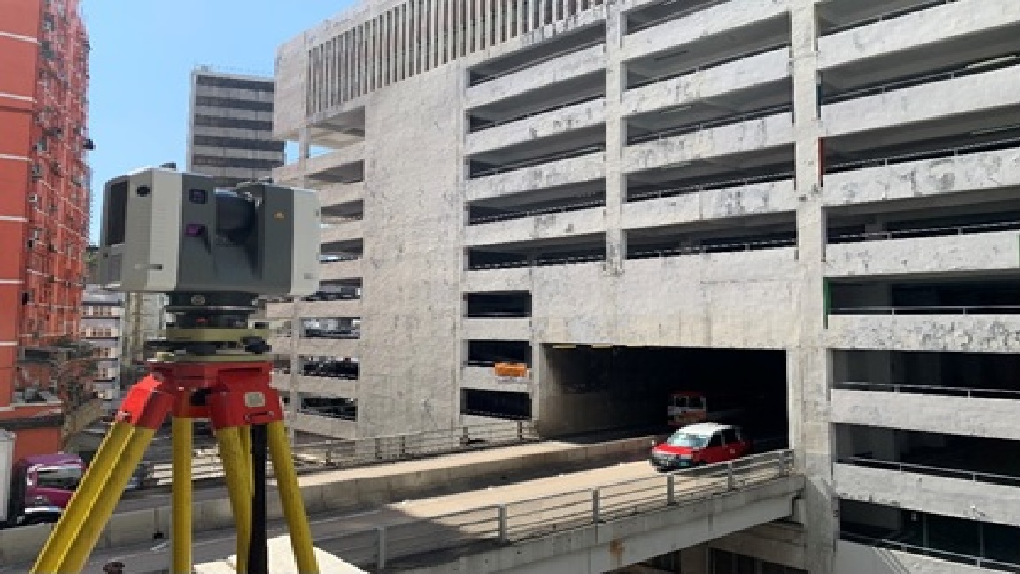
Record Survey for Demolishment of Yau Ma Tei Carpark Building
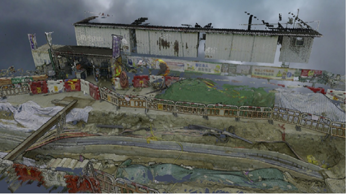
Yau Ma Tei Carpark Building (built in 1957) is being demolished in phases starting from early 2021 to give way to the construction works of the Central Kowloon Route (CKR). The demolition is anticipated to be completed by 2023. The building together with passing through Gascoigne Road Flyover were surveyed by terrestrial laser scanning, supplemented by Mobile Laser Scanning and Imagery (MLSI) survey before its demolition. High density point cloud model of the building and the flyover is created which provides a valuable record of the iconic building.
-
Laser Scanning Survey of Yau Ma Tei Carpark Building -
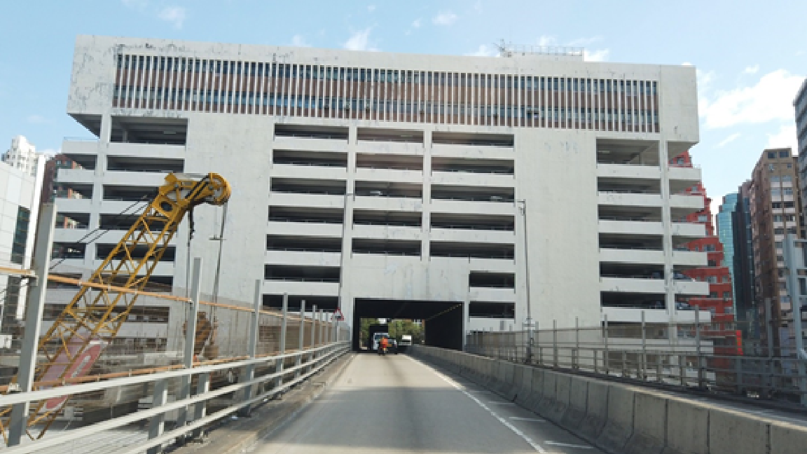
Photo of Yau Ma Tei Carpark Building -
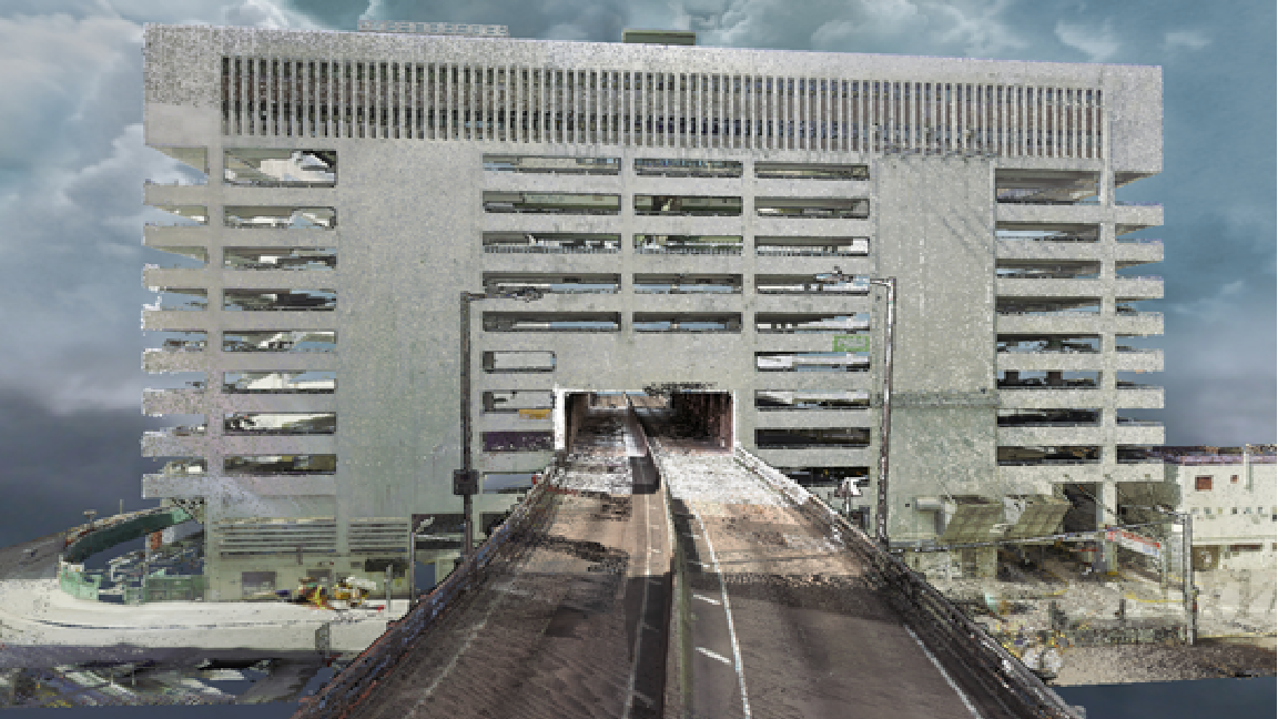
Point Cloud Model of Yau Ma Tei Carpark Building -
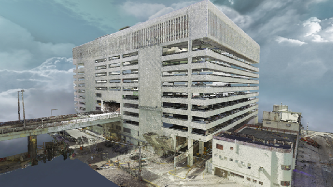
Point Cloud Model of Yau Ma Tei Carpark Building
Underground Utility Survey in CKR Site
To record the underground utilities (UU) along the excavated trenches of Yau Ma Tei East project site of Central Kowloon Route (CKR), terrestrial laser scanner was deployed to capture the 3D position of the underground utilities. The laser scanning technology enables surveyor to capture UU point cloud data in a very short period of time before backfilling the trenches. The point cloud data with sufficient geometry information is also advantageous to the creation of UU BIM model.
-
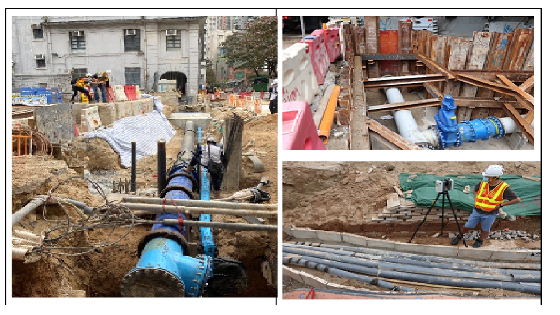
UU in the Excavated Trenches of CKR Project -
Point Cloud Model of UU in CKR Project -
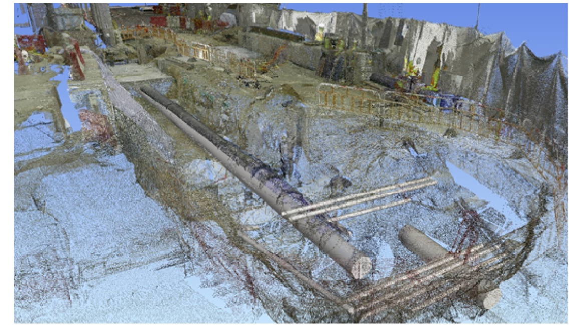
BIM Model of UU Created from Point Cloud Model